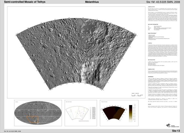
This map sheet is the 13th of a 15-quadrangle series covering the entire surface of Tethys at a nominal scale of 1:1000000. The source of map data was the Cassini imaging experiment (Porco et al., 2004)
Last update: 20/05/2010 14:16